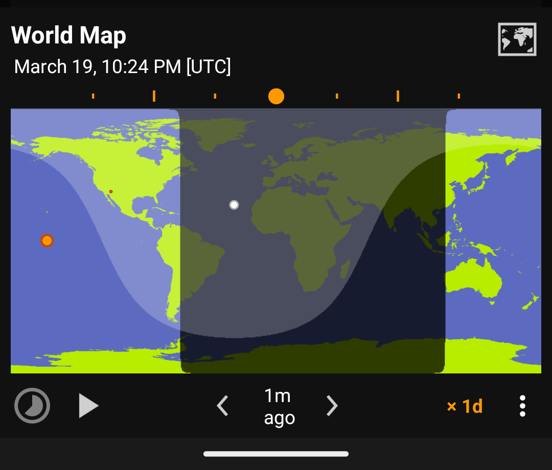
World Map

World Map World Map


Maps

  • Basic
  • Blue Marble
  • Mercator
  • Mercator equal-area
  • Van der Grinten
  • Polar (North)
  • Polar (South)
  • Azimuthal Equidistant (North America)

Map Options

Use : -> Options to change the map’s options.

  • Sunlight (shadow)
  • Moonlight
  • Location (dot)
  • Graticule (minor grid lines)
  • Major Lines (equator, tropics, arctic circle)
Note

The map options are also applied to home screen widgets.


Play (animation)

Suntimes can animate the world map at different rates.

  • 15m the frames are 15 minutes apart.
  • 1d the frames are 24 hours apart.

Tap and to step through frames one at a time.

Tap to play the animation, to pause it, and to reset to the current moment.

Tip

Long pressing the map will also play the animation, and tapping it again will pause.

Share (Record)

Suntimes can share individual frames, or record all frames in an animation.

Use : -> Share to share the current map view.

To share an animation, long press to start recording. When finished, tap (where the play button was previously) to share the frames (as .zip).

View Date

Use : -> View date to open other dialogs at the selected date/time.


Set Background

Suntimes can be configured to display a custom world map background.

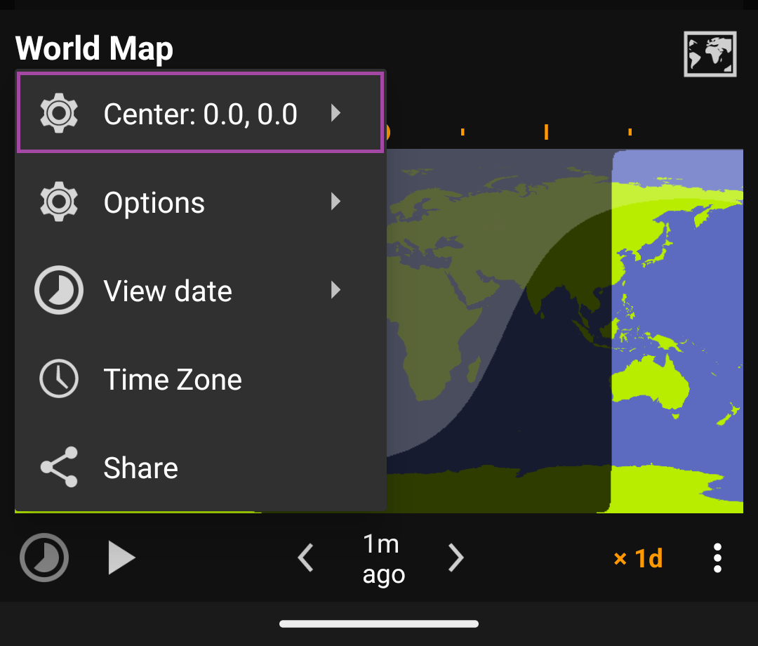
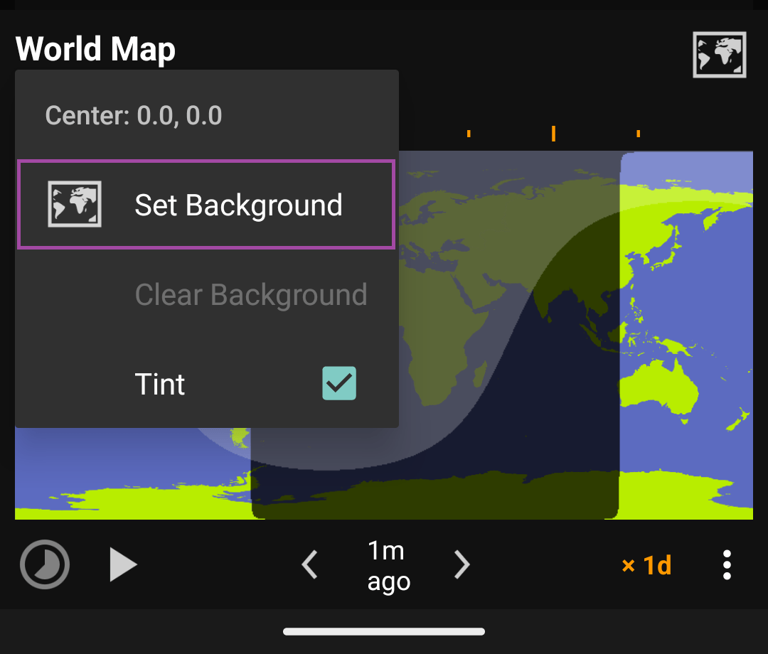
Use : -> Center -> Set Background to change the map’s background image.

World Map (:) World Map (:) World Map (Center) World Map (Center) World Map (Set Background) World Map (Set Background)

Subsections of World Map

Download Backgrounds

To use backgrounds: store full-sized images somewhere on your device, then open with Set background. Suntimes uses URI permissions to access images stored on the SD card.

Map Collection

Suntimes Map Pack provides a large collection of background images. This addon makes backgrounds available automatically, however they can also be downloaded individually.

Samples

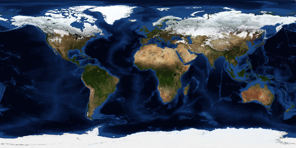
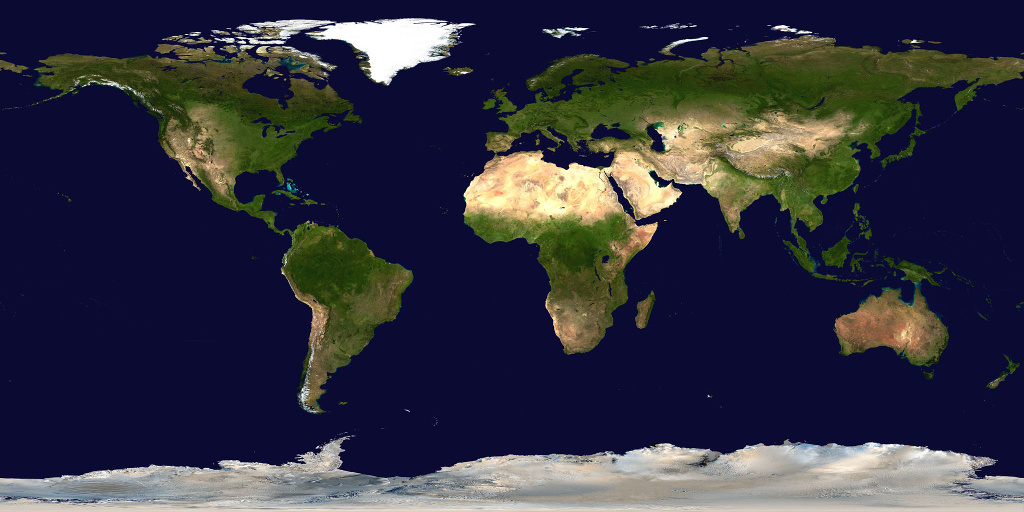
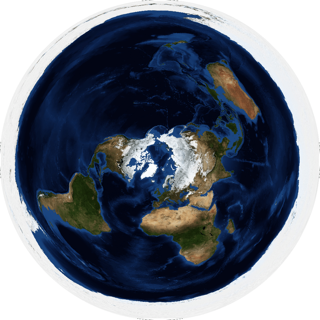
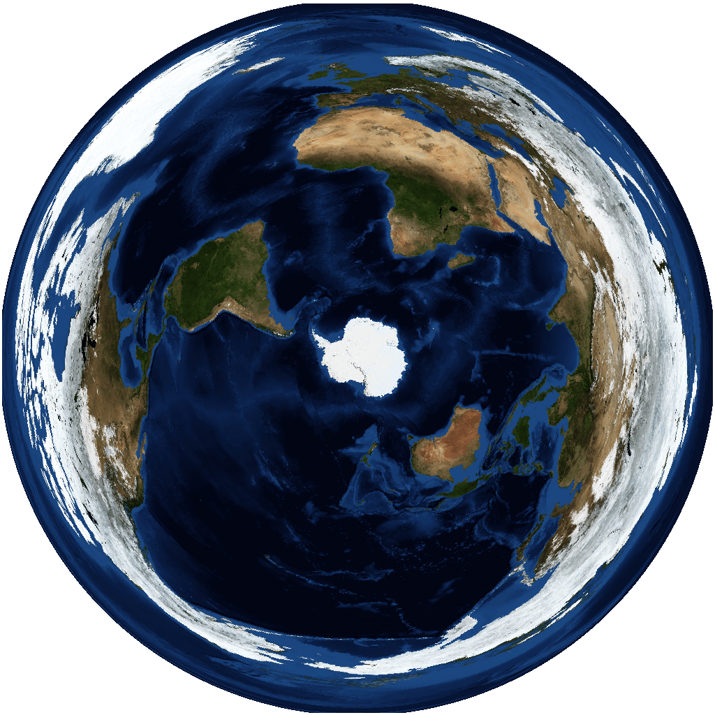
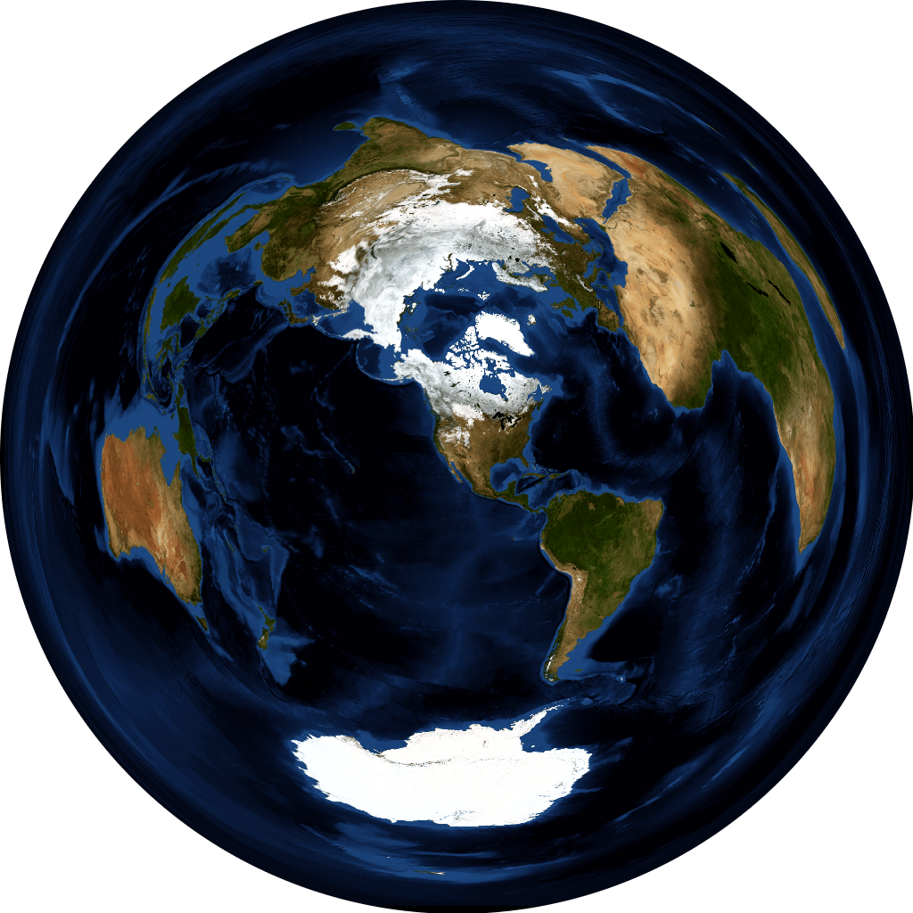
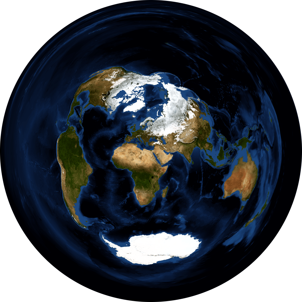
The following backgrounds were created by reprojecting Blue Marble and Natural Earth data using QGIS.

Projection Map Backgrounds (click for full-size image)
Equidistant Rectangular world_topo_bathy_eqc_1024 land_shallow_topo_eqc_1024
Equidistant Azimuthal world_topo_bathy_aeqd_90,0 world_topo_bathy_aeqd_-90,0 world_topo_bathy_aeqd_33,-111 basic_map_aeqd_30,31 world_topo_bathy_aeqd_30,31

Made with Natural Earth. https://www.naturalearthdata.com/about/terms-of-use/

NASA Earth Observatory. Blue Marble: Next Generation. https://visibleearth.nasa.gov/view_cat.php?categoryID=1484

Creating Backgrounds

Requirements

  • Background images should be a png or jpeg with recommended dimensions 1024 x 512 or 1024 x 1024 or greater (will be scaled to fit the screen).
  • Background images must have the appropriate map projection, center, and aspect ratio to align correctly.
World Map Aspect Projection Center proj4
Basic 2:1 Equidistant Rectangular [0,0] +proj=eqc +lat_ts=0 +lat_0=0 +lon_0=0 +x_0=0 +y_0=0 +a=6371007 +b=6371007 +units=m +no_defs
Polar [north] 1:1 Equidistant Azimuthal [90,0] +proj=aeqd +lat_0=90 +lon_0=0 +x_0=0 +y_0=0 +datum=WGS84 +units=m +no_defs
Polar [south] 1:1 Equidistant Azimuthal [-90,0] +proj=aeqd +lat_0=-90 +lon_0=0 +x_0=0 +y_0=0 +datum=WGS84 +units=m +no_defs
Azimuthal Equidistant 1:1 Equidistant Azimuthal [LAT,LON] +proj=aeqd +lat_0=LAT +lon_0=LON +x_0=0 +y_0=0 +a=6371000 +b=6371000 +units=m +no_defs where LAT and LON define the center of the projection.
Mercator 1:1 Web Mercator [0,0] +proj=merc +lat_ts=0 +lon_0=0 +x_0=0 +y_0=0 +R=6378137 +units=m +no_defs
Mercator equal-area 1:1 Sinusoidal [0,0] +proj=sinu +lon_0=0 +x_0=0 +y_0=0 +datum=WGS84 +units=m +no_defs
Van der Grinten 1:1 Van der Grinten [0,0] +proj=vandg +lon_0=0 +x_0=0 +y_0=0 +R_A +a=6371000 +b=6371000 +units=m +no_defs

Notes

  • QGIS to reproject source imagery.
  • pngquant to optimize the final image.